Environment Canada · WARNINGWind Warning
Greater Victoria
YELLOW
IssuedNovember 14th at 10:01 am Expected to endNovember 15th at 7:00 am
Damaging winds are expected.
Another strong wind event is expected over coastal B.C.
What: Southeasterly winds of 70 km/h gusting to 90 km/h.
When: Late this evening to overnight.
Where: Exposed coasts along the Strait of Georgia.
Remarks:
A vigorous frontal system moving across the South Coast tonight will bring strong southeast winds to the region. For exposed areas along the Strait of Georgia, southeast winds will gradually strengthen this evening and reach 70 km/h gusting to 90 km/h near midnight.
Strong winds will ease below warning criteria Sunday morning in the wake of the system.
Local utility outages are possible.
Secure loose objects. Be prepared to adapt your driving for changing conditions.
Please continue to monitor alerts and forecasts issued by Environment Canada. To report severe weather, send an email to BCstorm@ec.gc.ca or post reports on social media using #BCStorm.
Environment Canada · WARNINGWind Warning
North Vancouver Island
YELLOW
IssuedNovember 14th at 6:06 am Expected to endNovember 15th at 1:05 pm
Damaging winds are expected.
Another strong wind event is expected over coastal B.C.
What: Southeasterly winds of 90 km/h gusting to 110 km/h.
When: Late tonight into Sunday.
Where: Coastal sections of West Vancouver Island, North Vancouver Island, and Haida Gwaii.
Remarks: Very strong, gusty winds will develop over the BC Coast this evening. Winds will remain strong overnight and diminish before morning on Vancouver Island, while Haida Gwaii will see a second push of strong winds midday on Sunday.
Local utility outages are possible. Disruptions to services and travel are possible.
Secure loose objects.
Please continue to monitor alerts and forecasts issued by Environment Canada. To report severe weather, send an email to BCstorm@ec.gc.ca or post reports on social media using #BCStorm.
Environment Canada · WARNINGWind Warning
West Vancouver Island
YELLOW
IssuedNovember 14th at 6:06 am Expected to endNovember 15th at 1:05 pm
Damaging winds are expected.
Another strong wind event is expected over coastal B.C.
What: Southeasterly winds of 90 km/h gusting to 110 km/h.
When: Late tonight into Sunday.
Where: Coastal sections of West Vancouver Island, North Vancouver Island, and Haida Gwaii.
Remarks: Very strong, gusty winds will develop over the BC Coast this evening. Winds will remain strong overnight and diminish before morning on Vancouver Island, while Haida Gwaii will see a second push of strong winds midday on Sunday.
Local utility outages are possible. Disruptions to services and travel are possible.
Secure loose objects.
Please continue to monitor alerts and forecasts issued by Environment Canada. To report severe weather, send an email to BCstorm@ec.gc.ca or post reports on social media using #BCStorm.
IssuedNovember 14th at 10:01 am Expected to endNovember 15th at 7:00 am
Damaging winds are expected.
Another strong wind event is expected over coastal B.C.
What: Southeasterly winds of 70 km/h gusting to 90 km/h.
When: Late this evening to overnight.
Where: Exposed coasts along the Strait of Georgia.
Remarks:
A vigorous frontal system moving across the South Coast tonight will bring strong southeast winds to the region. For exposed areas along the Strait of Georgia, southeast winds will gradually strengthen this evening and reach 70 km/h gusting to 90 km/h near midnight.
Strong winds will ease below warning criteria Sunday morning in the wake of the system.
Local utility outages are possible.
Secure loose objects. Be prepared to adapt your driving for changing conditions.
Please continue to monitor alerts and forecasts issued by Environment Canada. To report severe weather, send an email to BCstorm@ec.gc.ca or post reports on social media using #BCStorm.
IssuedNovember 14th at 10:01 am Expected to endNovember 15th at 7:00 am
Damaging winds are expected.
Another strong wind event is expected over coastal B.C.
What: Southeasterly winds of 70 km/h gusting to 90 km/h.
When: Late this evening to overnight.
Where: Exposed coasts along the Strait of Georgia.
Remarks:
A vigorous frontal system moving across the South Coast tonight will bring strong southeast winds to the region. For exposed areas along the Strait of Georgia, southeast winds will gradually strengthen this evening and reach 70 km/h gusting to 90 km/h near midnight.
Strong winds will ease below warning criteria Sunday morning in the wake of the system.
Local utility outages are possible.
Secure loose objects. Be prepared to adapt your driving for changing conditions.
Please continue to monitor alerts and forecasts issued by Environment Canada. To report severe weather, send an email to BCstorm@ec.gc.ca or post reports on social media using #BCStorm.
Environment Canada · WARNINGWind Warning
Southern Gulf Islands
YELLOW
IssuedNovember 14th at 10:01 am Expected to endNovember 15th at 7:00 am
Damaging winds are expected.
Another strong wind event is expected over coastal B.C.
What: Southeasterly winds of 70 km/h gusting to 90 km/h.
When: Late this evening to overnight.
Where: Exposed coasts along the Strait of Georgia.
Remarks:
A vigorous frontal system moving across the South Coast tonight will bring strong southeast winds to the region. For exposed areas along the Strait of Georgia, southeast winds will gradually strengthen this evening and reach 70 km/h gusting to 90 km/h near midnight.
Strong winds will ease below warning criteria Sunday morning in the wake of the system.
Local utility outages are possible.
Secure loose objects. Be prepared to adapt your driving for changing conditions.
Please continue to monitor alerts and forecasts issued by Environment Canada. To report severe weather, send an email to BCstorm@ec.gc.ca or post reports on social media using #BCStorm.
Environment Canada · WARNINGRainfall Warning
Inland Vancouver Island
YELLOW
IssuedNovember 14th at 5:27 am Expected to endNovember 15th at 7:40 pm
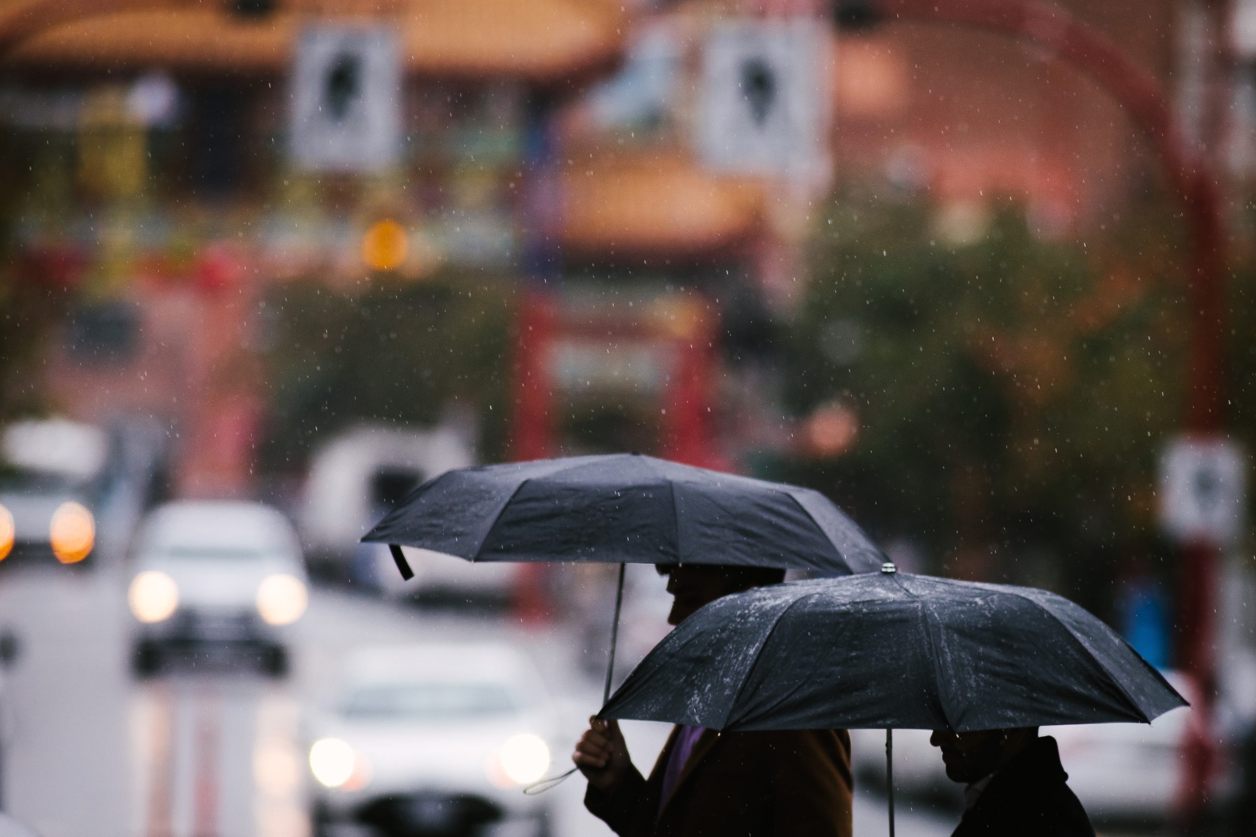
Heavy rain is expected.
Another round of significant rain for the west coast.
When: This afternoon through Sunday night.
Where: West Vancouver Island, Inland Vancouver Island & North Vancouver Island.
Remarks:
Another moisture laden low pressure system is heading towards the BC coast. Heavy rain is expected to begin late this afternoon and continue into Sunday. Total rainfall amounts over the region extending between Zeballos, Gold River and Port Alice is expected to reach between 80 to 150 mm, while Tofino and locations further south can expect between 60 to 120 mm.
Water will likely pool on roads and in low-lying areas.
Watch for washouts near rivers, creeks and culverts.
Please continue to monitor alerts and forecasts issued by Environment Canada. To report severe weather, send an email to BCstorm@ec.gc.ca or post reports on social media using #BCStorm.
Environment Canada · WARNINGRainfall Warning
North Vancouver Island
YELLOW
IssuedNovember 14th at 5:27 am Expected to endNovember 15th at 7:40 pm
Heavy rain is expected.
Another round of significant rain for the west coast.
When: This afternoon through Sunday night.
Where: West Vancouver Island, Inland Vancouver Island & North Vancouver Island.
Remarks:
Another moisture laden low pressure system is heading towards the BC coast. Heavy rain is expected to begin late this afternoon and continue into Sunday. Total rainfall amounts over the region extending between Zeballos, Gold River and Port Alice is expected to reach between 80 to 150 mm, while Tofino and locations further south can expect between 60 to 120 mm.
Water will likely pool on roads and in low-lying areas.
Watch for washouts near rivers, creeks and culverts.
Please continue to monitor alerts and forecasts issued by Environment Canada. To report severe weather, send an email to BCstorm@ec.gc.ca or post reports on social media using #BCStorm.
Environment Canada · WARNINGRainfall Warning
West Vancouver Island
YELLOW
IssuedNovember 14th at 5:27 am Expected to endNovember 15th at 7:40 pm
Heavy rain is expected.
Another round of significant rain for the west coast.
When: This afternoon through Sunday night.
Where: West Vancouver Island, Inland Vancouver Island & North Vancouver Island.
Remarks:
Another moisture laden low pressure system is heading towards the BC coast. Heavy rain is expected to begin late this afternoon and continue into Sunday. Total rainfall amounts over the region extending between Zeballos, Gold River and Port Alice is expected to reach between 80 to 150 mm, while Tofino and locations further south can expect between 60 to 120 mm.
Water will likely pool on roads and in low-lying areas.
Watch for washouts near rivers, creeks and culverts.
Please continue to monitor alerts and forecasts issued by Environment Canada. To report severe weather, send an email to BCstorm@ec.gc.ca or post reports on social media using #BCStorm.
IssuedNovember 14th at 4:49 am Expected to endNovember 15th at 2:00 pm
This statement is in effect for parts of the coast due to the following hazard(s):
- Higher than normal water levels
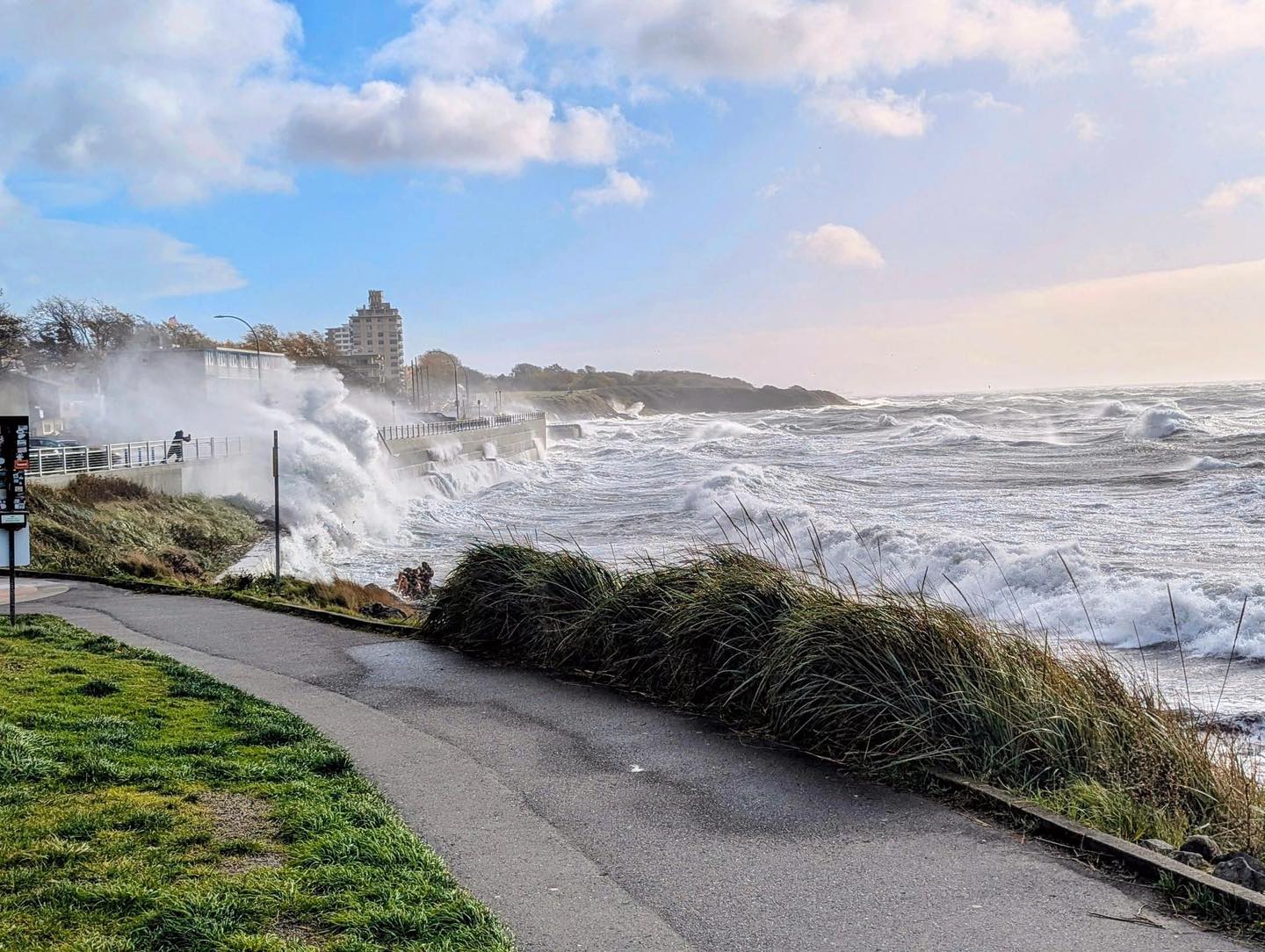
Elevated ocean water levels are expected with enhanced wave activity and strong winds at times.
Hazard: Possible coastal flooding due to storm surge. Water levels will likely exceed highest astronomical tide.
When: Today and Sunday. Peak water levels will be observed during high tide, occuring from 11am to 2PM local time.
Where: Low-lying and exposed coastal sections of the Southern Gulf Islands, Saanich Inlet, Swartz Bay to Cordova Bay, Cordova Bay to East Sooke
Discussion:
A series of Pacific low-pressure systems are moving across the region and coinciding with a period of high tides this weekend. The storm surge enhancement to the high tide cycle will cause water levels to exceed high astronomical tide. East to southeasterly winds gusting from 60 to 90 km/h this weekend are expected over exposed coastal sections at times and will cause enhanced wave action and swells in some areas.
Please continue to monitor alerts and forecasts issued by Environment Canada. To report severe weather, send an email to BCstorm@ec.gc.ca or post reports on social media using #BCStorm.
IssuedNovember 14th at 4:49 am Expected to endNovember 15th at 2:00 pm
This statement is in effect for parts of the coast due to the following hazard(s):
- Higher than normal water levels
Elevated ocean water levels are expected with enhanced wave activity and strong winds at times.
Hazard: Possible coastal flooding due to storm surge. Water levels will likely exceed highest astronomical tide.
When: Today and Sunday. Peak water levels will be observed during high tide, occuring from 11am to 2PM local time.
Where: Low-lying and exposed coastal sections of the Southern Gulf Islands, Saanich Inlet, Swartz Bay to Cordova Bay, Cordova Bay to East Sooke
Discussion:
A series of Pacific low-pressure systems are moving across the region and coinciding with a period of high tides this weekend. The storm surge enhancement to the high tide cycle will cause water levels to exceed high astronomical tide. East to southeasterly winds gusting from 60 to 90 km/h this weekend are expected over exposed coastal sections at times and will cause enhanced wave action and swells in some areas.
Please continue to monitor alerts and forecasts issued by Environment Canada. To report severe weather, send an email to BCstorm@ec.gc.ca or post reports on social media using #BCStorm.
Environment Canada · STATEMENTCoastal Flooding Statement
Southern Gulf Islands
YELLOW
IssuedNovember 14th at 4:49 am Expected to endNovember 15th at 2:00 pm
This statement is in effect for parts of the coast due to the following hazard(s):
- Higher than normal water levels
Elevated ocean water levels are expected with enhanced wave activity and strong winds at times.
Hazard: Possible coastal flooding due to storm surge. Water levels will likely exceed highest astronomical tide.
When: Today and Sunday. Peak water levels will be observed during high tide, occuring from 11am to 2PM local time.
Where: Low-lying and exposed coastal sections of the Southern Gulf Islands, Saanich Inlet, Swartz Bay to Cordova Bay, Cordova Bay to East Sooke
Discussion:
A series of Pacific low-pressure systems are moving across the region and coinciding with a period of high tides this weekend. The storm surge enhancement to the high tide cycle will cause water levels to exceed high astronomical tide. East to southeasterly winds gusting from 60 to 90 km/h this weekend are expected over exposed coastal sections at times and will cause enhanced wave action and swells in some areas.
Please continue to monitor alerts and forecasts issued by Environment Canada. To report severe weather, send an email to BCstorm@ec.gc.ca or post reports on social media using #BCStorm.