

Parts of Vancouver Island could experience a combination of wildfire smoke, heavy rain and thunderstorms Friday as a changing weather pattern moves across BC.
According to The Weather Network, the province is beginning to transition away from the persistent hot and dry conditions experienced in recent days.
That change is expected to bring scattered thunderstorms across southern BC on Friday, August 14th, with some storms potentially becoming severe over portions of Vancouver Island.
Comox and Port Hardy are among the communities at risk of stronger storms. The most intense thunderstorms could produce heavy rainfall and small hail.
Dry lightning is also possible in other areas of the province, raising concerns that additional wildfires could be sparked amid the ongoing hot and dry conditions.
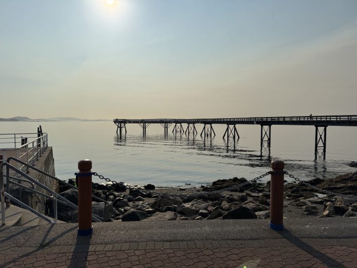
Wildfire smoke will also continue to shift across Vancouver Island throughout the day, although conditions are expected to vary considerably by region.
According to FireSmoke.ca, lower level smoke will be most noticeable along parts of eastern and southern Vancouver Island.
The smoke is expected to gradually decline Friday evening.
The Weather Network says a wind shift Friday evening should begin pushing smoke away from Vancouver Island and the Lower Mainland and back toward the BC Interior.
The unsettled conditions are not expected to last long. Another ridge of high pressure is forecast to build across BC next week, bringing a return to warmer and drier weather.
💬 Join the conversation
No comments yet — be the first to start the conversation