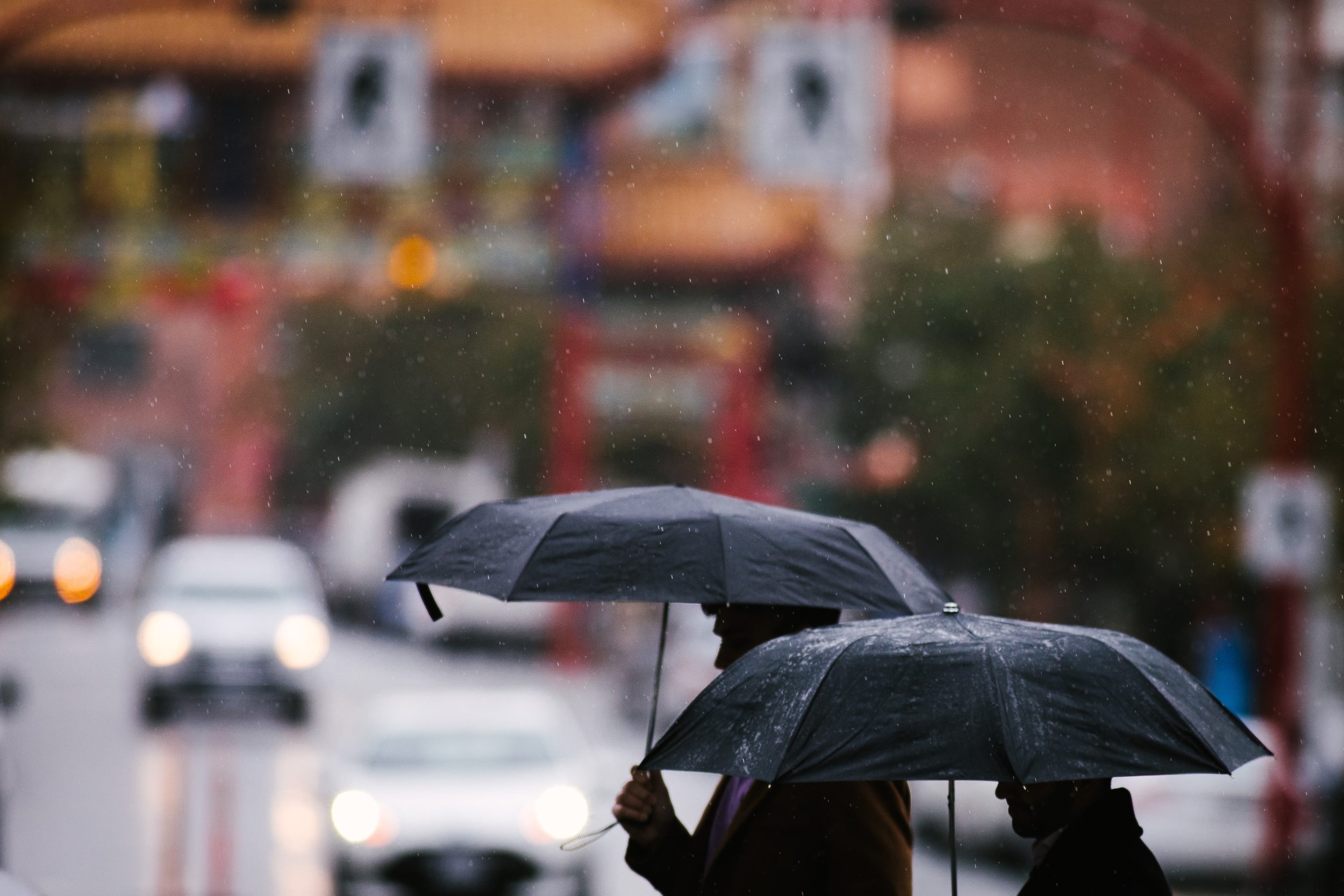

More snow expected this weekend before things warm up
Advertisement
The arctic air that has been with southern BC for nearly two weeks will finally be flushed out by milder pacific air but before that happens one more snowfall is likely.
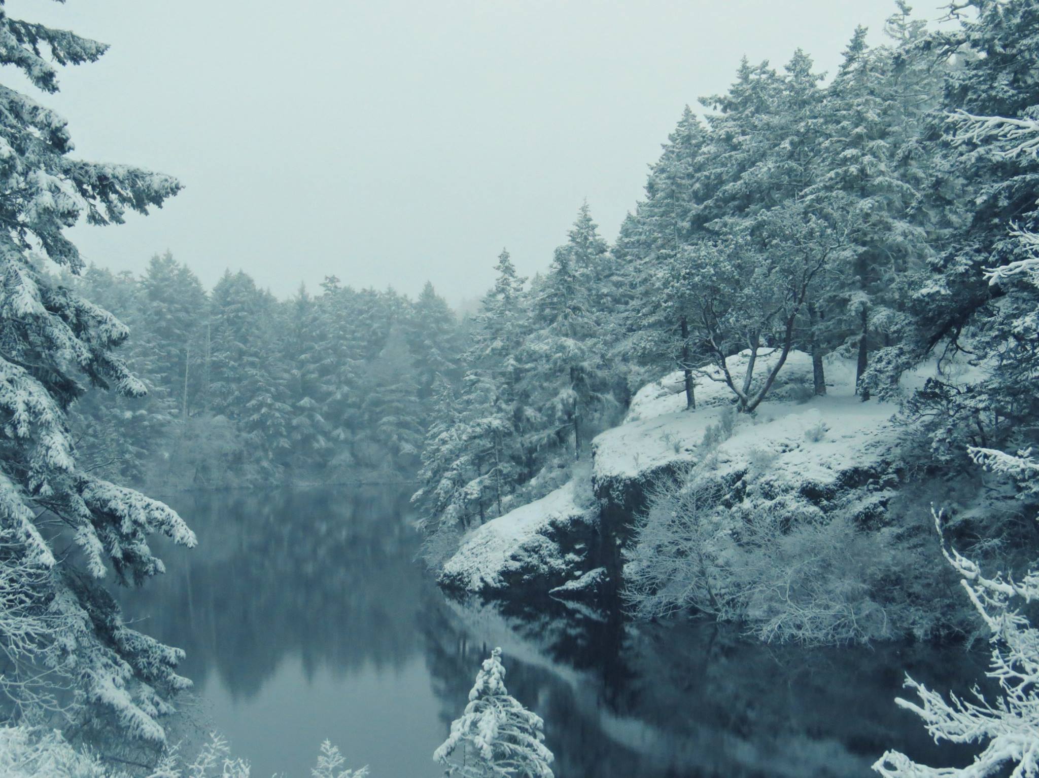
Environment Canada issued a special weather statement for Greater Victoria saying more snow is on the way Saturday night and will continue through Sunday.
As usual, snowfalls will be highly variable with higher amounts expected inland and over higher terrain.
A complete changeover to rain is likely to happen by Monday morning.
Forecasters are warning there will be a risk of freezing rain for inland communities of Vancouver Island including Port Alberni.
Join the conversation
Checking readers…
No comments yet — be the first to start the conversation